City of Port Arthur Master Drainage Plan
Client
City of Port Arthur
Location
Port Arthur, Texas
Services
Engineering, Surveying, Mapping
City-wide master drainage GIS and modeling with phased improvement plan for Port Arthur.
Arceneaux Wilson & Cole was tasked with building a turnkey master drainage GIS database for the City of Port Arthur, enabling faster response in maintenance and emergencies, advanced modeling of flood and drainage conditions, and better coordination of City assets. Alongside the GIS database, a unified Master Drainage Plan was created to integrate accurate accounting and modeling of the City’s infrastructure, allowing future projects to utilize grants and taxpayer funds efficiently, including TWDB grant funding used in this project.
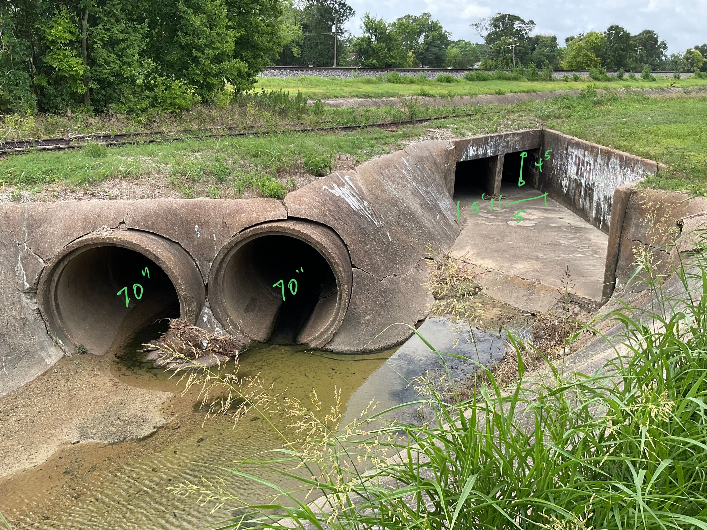
To ensure accuracy, AWC conducted field surveying and physical inspection of the entire City drainage system, cataloging approximately 11,522 drainage structures, 10,283 pipes totaling over 174 miles, and 875 box culverts totaling over 20 miles. Leveraging this City-wide dataset, AWC modeled drainage and flood conditions with unprecedented accuracy and interactivity. Using the survey data and historical records, AWC performed hydrologic and hydraulic analysis for 5-year, 10-year, and 25-year storm events with 1D and 2D HEC-RAS modeling, compiling proposed improvement plans with a phased, cost-effective ranking system. Finally, a Master Drainage Criteria Manual was created to guide and regulate future drainage development, ensuring proper stewardship of Port Arthur’s resources for decades to come.